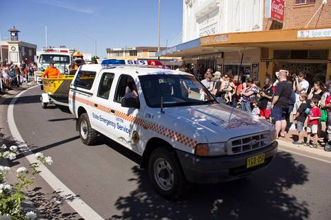
Severe storms set to drench NSW this long weekend
Severe thunderstorms will hammer NSW from now through Sunday, bringing up to 100mm of rain, damaging winds, and large hail.
A cold front is predicted to bring widespread thunderstorms to the Central West, South Coast, Illawarra and Sydney until Sunday. Some areas could see as much as 100 millimetres of rain.
The State Emergency Service is most worried about flash flooding, which can turn roads dangerous in minutes. Damaging winds and large hail are also expected.
Emergency services are on standby, but the SES is urging people to act now: secure loose outdoor items, park cars under cover or away from trees, and clean gutters so water can drain properly. The most important rule: never drive, ride or walk through floodwater.
The SES can be reached on 132 500, or triple zero for life-threatening emergencies.
- up to 100 millimetres
- Rainfall forecast
- until Sunday 4 October
- Duration
- 132 500 or triple zero
- SES emergency contact
Why it mattersFlash flooding is deadly and can trap people in seconds. Roads that look passable can become impassable, stranding drivers and emergency services.
AustraliaMost of NSW will be affected over a public holiday weekend. Australians in Sydney, Wollongong, Canberra region and the North Coast should prepare now and follow SES warnings closely.
✓ Claims checked against the source and corrected before publish. checked 1 h ago
Open this story in InSnip →